
Waves in action: the delicate Porte d'Aval arcade and L'Aiguille cliff, Normandy, France
- GeologX

- Jun 19, 2020
- 3 min read

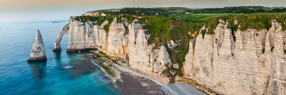
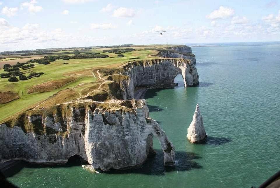
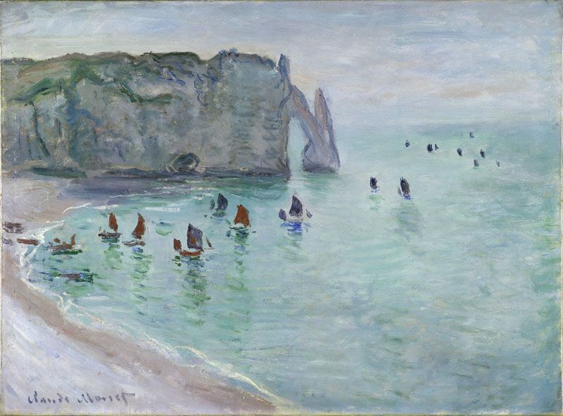
Atlantic Ocean has carved into the carbonate cliffs fabulous shapes at Étretat, Normandy, NW France, sometimes 90 m above sea level. Famous painters as Claude Monet, writers as Victor Hugo and movie directors as Luc Besson were amazed in front of the majestic landscape. The popularity of the "Étretat chalk complex", as it is known, made the multitude people that contemplate the great wall of chalk to rise the question about it's geological origin.
Among the many geological studies focused on sedimentology and stratigraphy, the field guide dedicated to this area written by Bernard Hoyez (2013) is one of the most comprehensive. At a glance, Étretat is located at the Northwest border of the Paris Basin, in Ailly syncline with low dips. A big normal fault with a NNW-SSE strike acts on the West side of the syncline, by subsiding of a hundred of meters the western compartment (the one to which belongs Étretat). By moving from Le Havre towards Fécamp, the apparent dip allows to observe more and more recent layers. The littoral section concerned here is reduced to the stratigraphic interval between the Upper Cenomanian and the Middle Coniacian (Late Cretaceous, 100 - 87 million years ago). Independently of the tectonics, in this area, the stratification is affected by pseudo-folds which show that the stratification was originally waved and that the sea bed, during the Upper Turonian and the Coniacian, was very irregular.
Elements of Geology that concurred at the formation of the primary rock are: hardgrounds, silica flints, the OAE2 (Oceanic Anoxic Event) or CTBE (Cenomanian-Turonian Boundary Event), traces of volcanism and undulations of the stratification.
Hardgrounds don't exceed 50 cm thickness but recurrently repeat in several episodes and give a beautiful colour due to different mineral coating (green from glauconite, brown from phosphates and red from ferruginous oxides). The bioclastic content includes nannoplankton, inocerams, echinoderms, oisters and worms.
The coarse silica flints play the role of reinforcement structure because they are less affected by fluids than carbonates.
An exceptional world event: the OAE2 (Oceanic Anoxic Event) or CTBE (Cenomanian-Turonian Boundary Event), known as Bonarelli event (Cetean et al., 2008) was one of the two extinction events in the Cretaceous period when was a large carbon, oxygen and sulphur cycles disturbance.
Traces of volcanism are represented by exceptional levels of bentonites, frequently met into Anglo-Parisian Basin trough Turonian times. Bentonites presents minerals or typically volcanic rocky elements (fragments of glass or automorphic crystals of sanidine, quartz or zircon).
Undulations of the stratification. Generally, the layers of carbonates have an original subhorizontal stratification. However, in the Etretat area, it is frequent that undulations and unconformities take place at certain stratigraphic levels. The flint levels and the hardgrounds underline perfectly these structures. The terminology adopted to describe the undulations varies according to the authors: "white carbonates" (Kennedy and Juignet, 1974), geometries (Lasseur, 2007), "Étretat Complex" (Mortimore, 2011) or "monticules" and "cuvettes" (Hoyez, 2013).
As the normal cliff, capes are forms of erosion related to the action of the sea during periods of high global sea, this case the last interglacial periods (Eemian and present Holocene). During glacial phases, the widening of valleys can isolate advanced intermediate land, but not having the sharpness of the capes. Among the important factors that influence the shaping of capes, there are the orientation and the density of fracturing, the development of karst pipes. These cavities are zones of weakness at the location of which the cliff recession is more important (Rodet, 1992).
Various and combined complex factors are involved on the origin of the capes. However, the most important seems to be related to the mechanical properties of chalk (pure limestone is more susceptible to dissolution comparing to hardgrounds, silica flints and dolomites). Erosion of the cliffs is controlled by the bottom and by the swell acting in the intertidal zone. Beside that, other destructive effects such as frost, salt crystallisation or biological activity continue to model the landscape.


References:
Cetean et al., 2008.Biostratigraphy of the Cenomanian-Turonian boundary in the Eastern Carpathians (Dâmboviţa Valley): preliminary observations. Studia Universitatis Babes-Bolyai, Geologia.
Hoyez, 2013. Geological Field Guide to Étretat (Seine-Maritime, Upper-Normandy, France)
Kennedy and Juiglet, 1974. Carbonate banks and slump beds in the Upper Cretaceous (Upper Turonian‐Santonian) of Haute Normandie, France. Sedimentology.
Lasseur, 2007. La Craie du Bassin de Paris (Cénomanien-Campanien, Crétacé supérieur)
Montimore, 2011. A chalk revolution: what have we done to the Chalk of England? Proceedings of the Geologists' Association


Comments